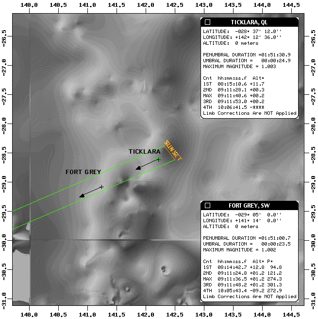
It is useful to look at a detailed map of this area. For a faster download CLICK HERE(1.7Mb) for a bit sharper rendition CLICKHERE (4.2 Mb). This is a 1:250,000 topo sent to meelectronically by Joe on which I have overplotted the path of totality. Just to get you oriented, I have overplotted Northern limit, Centerline,and Southern Limit as thin dark red lines which run diagonally from theSW (lower left) to NE (upper right). At the SW corner of the mapboth centerline and Southern limit are below the map "cut off" at 29degS longitude.
Scroll over to the right side of the map and you willsee where the north running road (d) above crosses centerline. Justfor reference I call this location Old Narylco Road Xing and provide refractioncorrected local circumstances in the figure. (I have not appliedlimb corrections, yet, but they won't effect our site selection). From here we would get 26 seconds of totality with the Sun 0.5 degreesabove the horizon at mid-eclipse. The azimuth of the sun is 245 degrees(nearly parallel to the path going to the SW). The road seems tocross centerline here at a relatively flat plain. From several pointsaround the Old Narylco Road Xing the altitude seems to be about 120 metersAMSL. So, the question is: Is the view to the SW in the directionof the Narraniappa Hills unobscured? From this topo the 150 metercontour, which seems to be the high point of the steepest vertical gradientalong the lone-of-site to the Sun is about 5.2 km away. *IF*the road is at 120 meters AMSL then this point on the ridge is at an angleof 0.33 degrees from the horizontal. With the Sun only 0.5 degreesabove the astronomical horizon this is too close to call from reading thistopo! However, we could follow the track through Old Narylco past"Three Mile Tank" to "Bottom Narranappa Tank" to get to the westernside of the Narrahanappa Hills. That location appears to be somewhat elevatedand overlooks "numerous small dry lakes" in the direction toward the Sun,which will be 0.7 degrees above the horizon at mid eclipse. (Thisseems to be confirmed by a larger scale global digitalterrain map, which is explained here).I would suggest this as our "primary site". Clearly, though with4WD vehicles we would have flexibility by going overland in regions ofdry lake beds if this location is not particularly suitable.
JC: I would not recommend any true cross country (off 4wd track)driving. Summer driving is hard enough on tyres. Small sticks can easilypuncture tyres. The summer heat softens the tyre rubber. Stones or sticksdeform the tyres enough to snap the steel belts. On a worktrip into the Gibson desert in March 1993 our two vehicles sustained 14broken belts on tyres over two weeks. We were carrying 3 spare tyres pervehicle and still ran into problems. The vehicles you rent will only haveone spare tyre so you will have to preserve it carefully. Travelling on"small dry lakes" is usually not possible. Most so called small dry lakesurfaces are ground water fed soft supersaturated salt crust over wet mudor soft clay.You can walk across what appears to be a hard surface. A 4wd vehicle will break the salt crust sink and become trapped in theclay and mud. Even with two vehicles, extraction can be difficult.I'm speaking from experience I have written a 4wd techniques articlein a response to a long series of Q's Michael and Glenn sent me.
Tickalara is one of the few places in the path of totalitywith an airstrip not too far off centerline. Here is the specification/referencesheet on the Tickalara airstrip.